Waterfront Access Mapping envisions waterfront access as a wellness journey. Expanding the conversation around NYC’s Waterfront Access Points, Waterfront Access Mapping is an interactive criticism and re-imagining of waterfront wayfinding by, for and with disabled bodies.


Developed as part of Works on Water’s 2021 Tending The Edge artist cohort. The final semi-functional access map document was exhibited on site at the Works on Water Triennial exhibition on Governor’s Island (NYC), with an interactive performance online via QR code, and invitation to engage with the work via the interactive website (see below).

You’ve reached the virtual interactions page for Waterfront Access Mapping.
What is waterfront access and who is it for?
1. Goals and Strategies
Listen to the narrative, or read the transcript below.
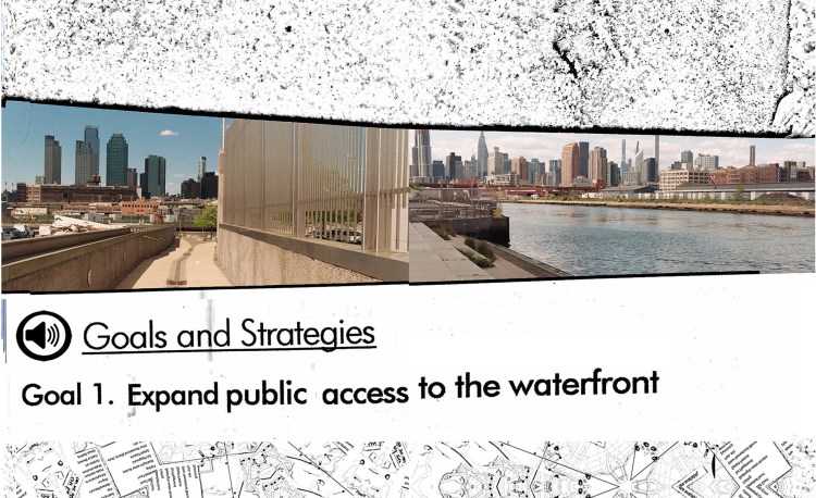
IMAGE DESCRIPTION
TRANSCRIPT
NYDCP’s Comprehensive Waterfront Plan is structured around three beacons: Resiliency, Equity and Health.
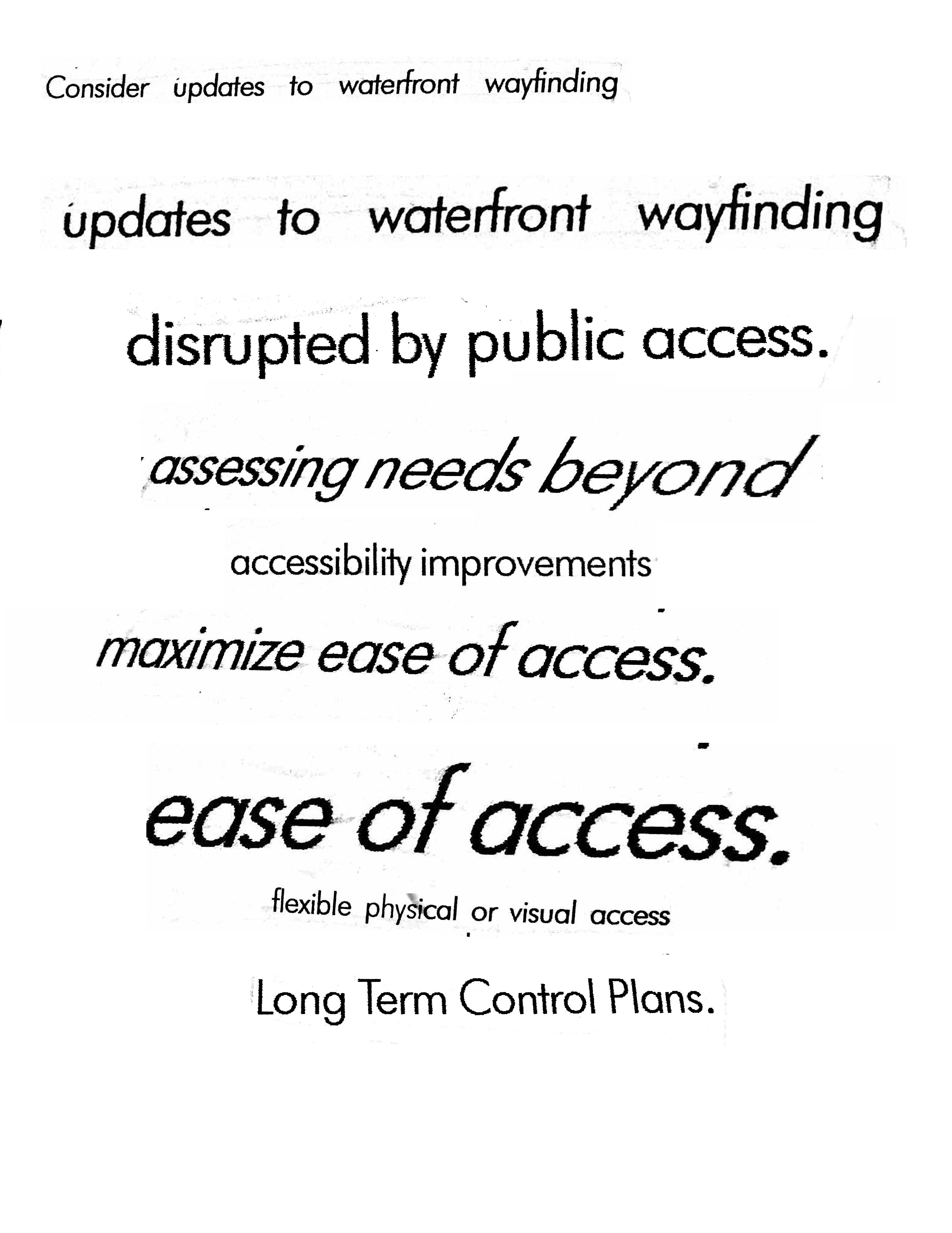
From these beacons and the previous waterfront plan’s priorities, the interactive waterfront access map was born. (you can find a metadata visual critique of said map here (link), or on the back of the folding guide). Promising a tool for New Yorkers to “Discover New York’s 520 miles of waterfront” the map offers a drop down checklist for viewing a variety of transit maps; location-specific ‘active use amenities’ on site (ranging from public bathrooms and splash features, to tot playgrounds, and, of course, bocce ball courts); find ‘entry points’ for boating (at your own risk), and learn specific waterfront sites’ hours of operation, and holidays observed.
One key element missing from this iteration of the waterfront access map is any information on accessibility. Sure, you can find entry points for your schooner, but can I find information related to disability and access needs for disabled bodies? It took a good deal of digging around private, federal and state parks’ websites for me to finally come up with access information of any use for disability access. This information told me, with generalized terms and multi-colored heat map bubbles and blobs, that New York City’s shorelines are hardly ever accessible for people with disabilities.
During our tending the edge meeting between artists and CPW, my dear friend mentor and collaborator moira williams aptly called out the ‘floppiness of access language’ within the current Waterfront Action Plan. A nod here to Jillian Crochet, another disabled artist I admire who calls out the overused and under-understood ‘floppiness’’ of words we use when we talk about access, health and care.
These documents and practices further scrutinize the floppiness of access language within the plan, and overall discourse of accessibility to waterfronts and natural spaces. We need to reframe our current languages of access in order to understand, promote and perform accessibility.
Practice
Access is not accessibility.
Think of a place where you’ve felt well, safe, and secure. If you can’t think of a specific place, you might picture a very comfortable bed, a few really excellent pillows- a place where you feel held and at ease. Spend a moment with this picture in your mind, and notice sensations of settling, support and wellbeing.
Where can we find this sense of wellness, ease and support at the water’s edge?

Disability Justice refers to access beyond the structural standards of the ADA (Americans with Disabilities Act). An accessible space is one where different kinds of bodies can arrive and be well without any negative impact from the environment. Beyond wheelchair ramps, through the widened doorways, and over the edge of the beach mat- what makes a space accessible for bodies with different needs?
2. maximize ease of access

Listen to the narrative, or read the transcript below.

IMAGE DESCRIPTION
TRANSCRIPT
I was not feeling ready for the beach. At 6 in the morning, my pm pills were still actively raging against anything but sleep.
Also, my brand of autoimmune complications is triggered by heat and direct sunlight. So it is a feat of care-coordination to get me, in any state of wellness, to the beach. But on this particular not-too-hot May morning, with a surfer-roommate-access-care partner in towe, and a broken black rain umbrella (for shade), I felt ready enough to test the odds.
My memory of the journey is crystalized in early-day antihistamine fog. I was thrilled. I remember chatted with some kind surfers who didn’t know about about cyanobacterial tides, I remember strangers kindly catching my black rain umbrella each time it blew away, I remember wading into the tide, joy- crying a tiny bit at the clusters of barnacles on wooden posts. (which is when i got too excited and dipped my bag fully into the waves.
WAYFINDING:
- walk to train (transfer 2x)
- glide over watery expanse (?!?!)
- walk to surf shop and lockers
- walk to beach
- find entrypoint (ramp here direct onto sand-closed)
- walk back to shuttle
- drift like spirit train over marshy waterways
- back to Broadway Junction
- revel home
- hydrate sleep hydrate sleep hydrate sleep
(back before 11am)
What is your experience of wayfinding accessible waterfronts around a city?
Practice
You are getting ready for a trip to the beach. What will you pack? What will you likely forget? How will you get there? What do you need to do or plan before leaving? How much planning time and energy is necessary for you to get to and be with the water?
On a scale from 0 (dis-ease) to 7 (maximum ease) how would you rate:
- The ease you feel upon waking up the morning of a water-bound day? (from 0-7)
- The ease you feel after traveling halfway to your watery destination?
- The ease you feel by the time you’ve arrived at the water?
- The ease you feel by the time you leave the water?
- If you do not remember these details, why do you think that is?
Add up your ease points. The maximum ease score is 28. How do you feel about your number? Does your number represent an adequate sense of ease? What would maximize your ease of accessing the waterfront?

3. The health of our waterbodies

Listen to the narrative, or read the transcript below.

IMAGE DESCRIPTION
TRANSCRIPT
Within the language of the Comprehensive Waterfront Plan, the ‘link’ to recognize is between the three beacons: equity, resiliency, health. Let’s dip into this proverbial pool, and feel around for the subtle currents drifting around each of these words… what exactly is linked, and how are we acting on or reacting to these links? How is the health of the biological body being considered alongside structural resilience constructions? Are we speaking of Equity in theory, or moving towards making actionable changes to our waterfront policies and landscapes? Whose health deserves equitable representation in order for us as individuals, communities, cities, and species to remain resilient along with the water that surrounds us?
Practice
Think of a trip you’ve taken to the water… to a place where you’ve felt well with or within the water. Appreciate the sensations mustered by this dream, or recollection- how does it feel to move, dream and be well within well water?
If you are close to water right now, you might engage your senses with this listening score written and recorded around the Waterfront Museum in Redhook, Brooklyn.

Listen.
Can you feel the sounds of water here?
What kinds of sounds does this water make?
Listen for the sounds you can hear closest to you. Small splashes, lapping waves, clacking stones-
Listen for the many small sounds made by water at the edge.
Now listen for a sound that’s farther away, retreating into the background or coming from a distance.
Do you hear non-water sounds?
Where are they coming from?
What are the qualities of these non-water sounds? And how do they feel in concert with the sounds of the water?
Notice when the sounds around you change.
Do you sense motion?
Do you sense stillness?
Do you hear the shapes and spaces filled by the water’s coming and going?
In this place, at this moment, how can you access the sounds and sensations of the water?
Interested in contributing your stories, thoughts and perspectives on waterfront wayfinding and accessibility?
This Interactive document and participation guide created by interdisciplinary artist Zoey Hart as part of Tending the Edge, an initiative funded by NYDCP, Works on Water, culture push and NY department of Cultural Affairs. Developed in conversation with NYDCP’s comprehensive waterfront plan and newly developed waterfront access map, this document is an interactive criticism and re-imagining of waterfront wayfinding with and for disabled New Yorkers.
Many thanks to collaborators, mentors and access-care partners:
moira williams, Works on Water, NYFA and NYDCA, Alexis Fagan, Kiera Bono, Ari Ruvinsky, Mae, Mosiah, Olive.
web design by michelle miles
